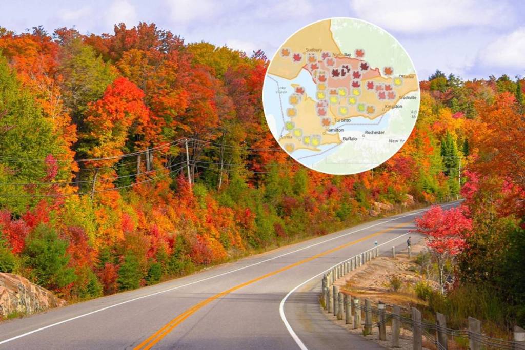

Autumn is right around the corner, and Ontario Parks has brought back its popular interactive Fall Colour Report to help road-trippers and leaf-peepers track the season’s change across the province.
The live visual tool maps out real-time leaf progression using a colour-coded icon system, making it easy to spot exactly when and where the autumn canopy reaches its most vibrant peak throughout the province.
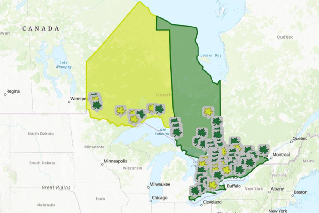
From early northern shifts to the late-blooming regions down south, users can click through provincial parks to access current status updates. Each park profile highlights the percentage of colour change, dominant shades, ranging from golden yellows to deep crimson reds, and estimated leaf drop. At the time of writing, the map currently shows predominantly shades of green, with a max of 10 percent colour change and leaf fall particularly in the north-eastern parks.
Whether you’re planning a weekend drive through Algonquin’s famous sugar maple forests or hunting for lesser-known lookouts near Georgian Bay, the tracker takes the guesswork out of timing your trip. Alongside the map, park staff share insider tips on the best viewing trails, scenic picnic spots, and accessible vantage points.
The digital map is completely free to access on the Ontario Parks website and is updated regularly by park staff throughout the fall season. Beyond helping you snap the perfect autumnal photo, the tracker encourages visitors to explore quieter hidden gems across the province, helping reduce crowding at high-traffic hotspots.
The interactive Ontario Parks Fall Colour Report is live now, tracking updates daily as the vibrant canopy sweeps across the province through late October. Visit their website here to plan your next fall leaf-peeping daytrip!