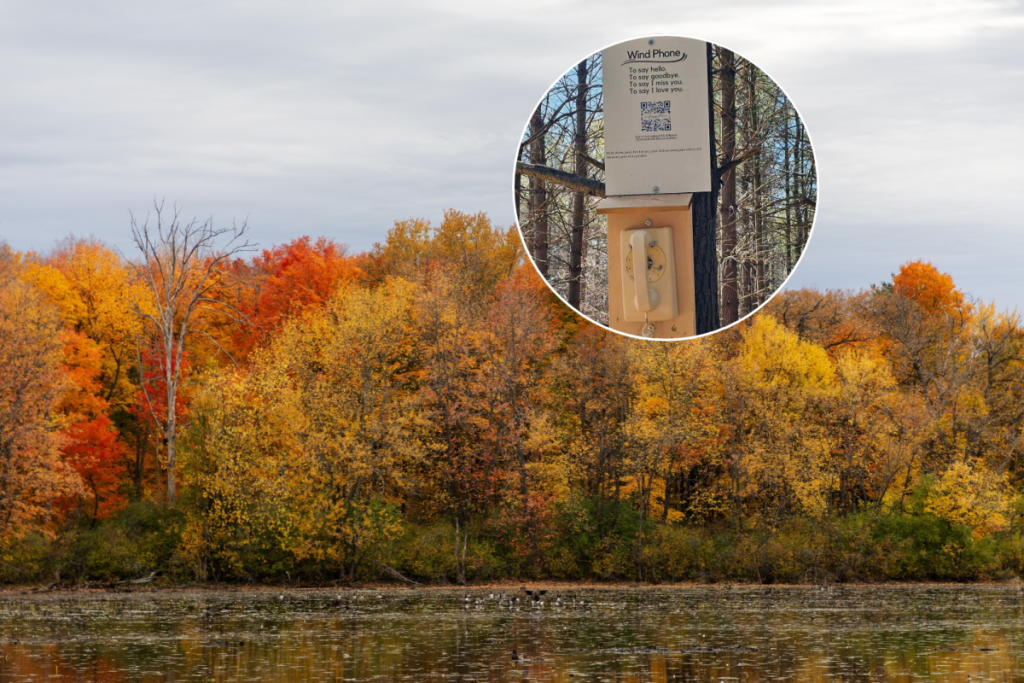

The story of Starkey Hill begins in 1833, when the Starkey family settled in Puslinch Township after moving from the United States. They established a 100-acre farm that remained in the family for three generations before the land was sold in 1972. Rather than being developed, the property was purchased by the Grand River Conservation Authority to protect the Arkell aquifer, an important groundwater source for Guelph’s drinking water supply.
That purchase helped preserve the 37-hectare forest visitors see today. On the north-facing slope, white pines planted in 1972 as part of a reforestation project have grown into a tall, established forest. Further south, the landscape transitions into a mature hardwood canopy of beech, maple, and oak trees.
On The Trail
The four-kilometre loop trail, maintained by the Guelph Hiking Trail Club, climbs to the highest point in Puslinch Township, where clear days can reveal views toward Guelph and the distant Church of Our Lady. Wetlands line parts of the route, while QR codes share the property’s history. In spring, blooming trilliums add extra colour to the forest floor.
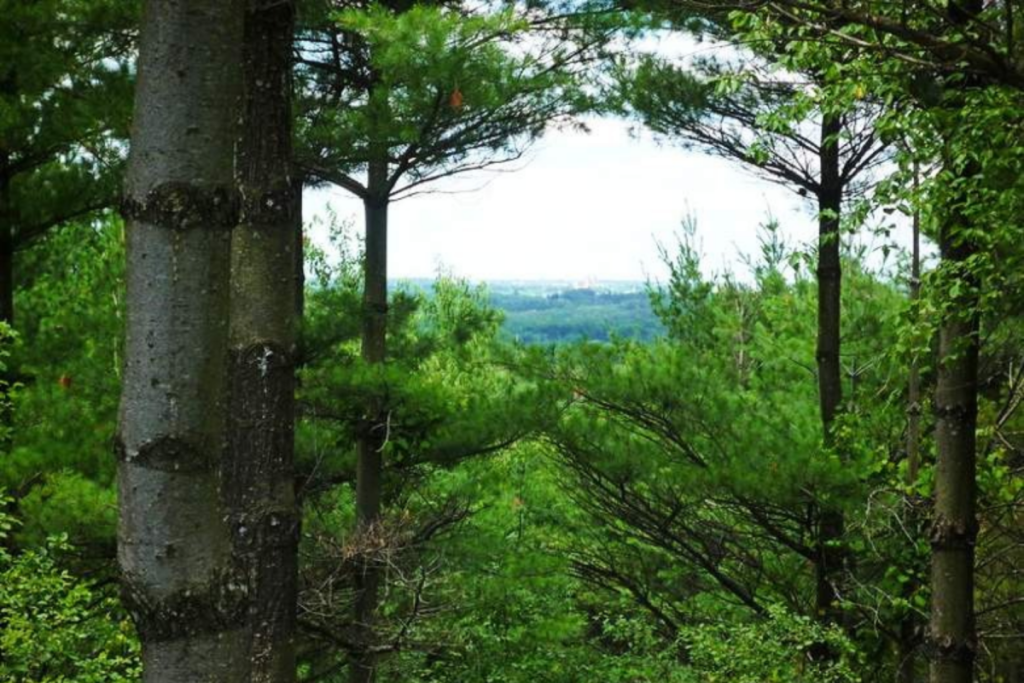
Though relatively short, the trail remains popular enough that the parking lot at 735 Arkell Road often fills on weekends, while weekdays are generally quieter. With some rocky and steep sections, sturdy footwear is recommended. For hikers seeking a less crowded alternative to many trails closer to Toronto, Starkey Hill offers scenic views, diverse forest landscapes, and a fascinating local history.
Need to Know
- Location: 735 Arkell Road, Puslinch (near Guelph)
- Trail: 4 km loop
- Difficulty: Moderate, with some steep and rocky sections
- Highlights: Highest point in Puslinch Township, forest views, wetlands, spring trilliums
- Parking: Free on-site parking
- Hours: Open daily from dawn to dusk
- Dogs: Allowed on leash
- Managed By: Grand River Conservation Authority and Guelph Hiking Trail Club