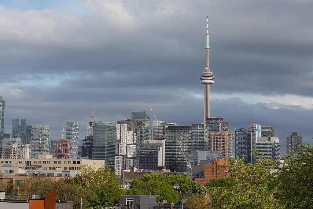

A massive surge of warm air has arrived in the GTA, bringing with it unseasonably balmy temperatures that feel a lot more like a long weekend in May than a mid-April afternoon.
Starting today, Toronto and the surrounding region are set to see daytime highs soaring into the high teens and even hitting the 20 degree Celsius mark. For context, Pearson Airport usually only sees a handful of days this warm in the entire month of April, so we are definitely in for a rare treat. If you’ve been waiting for the perfect moment to grab an iced coffee and take a stroll through Trinity Bellwoods, this is your window.
However, Mother Nature isn’t handing out the sunshine for free. According to The Weather Network, this taste of summer treat is being fueled by moisture-rich systems sweeping up from the Gulf of Mexico, which means the warmth is bringing some serious drama along with it.
Storms and Heavy Rainfall Ahead
While the temperatures are rising, so is the risk for active weather. Forecasters are calling for multiple rounds of thunderstorms and heavy downpours to roll through southern Ontario through Wednesday. Some areas could see as much as 20-30 mm of rain by mid-week, with localized totals climbing even higher in parts of the southwest.
In the coming days, be prepared for thunderstorms including frequent lightning and small hail, and strong winds reaching up to 60 km/h. With the ground already saturated, water is expected to pool quickly on roads and in low-lying areas.
Enjoy the warmth while it lasts, because these April Showers are going to take a chilly turn by the weekend. A sharp cold front is expected to sweep through on Saturday night, and by Sunday, we’ll be back to single-digit highs and potentially even flurries.
For now, soak up the warmth, keep your umbrella handy, and enjoy the first real taste of spring in the city!